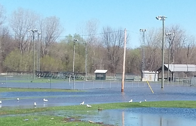
The municipality of Pontiac: assessment of the flooding
The municipality of Pontiac: assessment of the flooding
Following a press conference held Monday April 22nd, by the Municipality of Pontiac, an initial assessment of the spring melt was done with the help of the Canadian Armed Forces, who were stationed in the municipality on Saturday. Public security and the municipality, including the various municipal staff and volunteers on the ground, were mobilized in prevention measures and in aide to citizens.
Update:
– The municipality of Pontiac maintains a state of emergency.
– More than 70,000 sandbags were distributed.
– The Ottawa River Regulation Planning Board anticipates a rise in water levels over the next few days.
– The maximum threshold could be reached on Saturday, April 27th.
– Nearly 300 homes are at risk of being flooded.
– Residents in low-lying areas should be prepared for possible evacuation.
– Humanitarian and social aid agencies are ready to respond if necessary.
– The Luskville Community Center will be reopened as needed for volunteers and those affected.
Assessment of the road network:
CLOSED:
– Bronson Bryan Road
– Gold Mine Road
– Mohr Road
– Mulligan Road
– Proven Road
– River Road
– Taber Road
– Lac LaPêche Road
– Cain Road (currently being repaired)
LOCAL CIRCULATION CLOSED:
– Clarendon Street
– Dion Way
– Farrell Road
– Gauvin Road
– Hickey Way
– Murray Road
– Steele Road
– Swamp Way
– Old pump path
Preventive measures:
– The municipality strongly encourages affected residents to follow the instructions of the local authorities of the first responders.
– Residents are asked to stay vigilant to road conditions and infrastructure.
– Residents are advised to protect themselves with a 72-hour emergency kit: https://www.securitepublique.gouv.qc.ca/securite-civile/se-preparerauxin-sistres/plan-familial-1 /trousse-urgence.html


